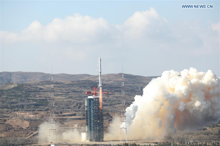
A new Earth observation satellite, Gaofen-7, is launched on a Long March-4B rocket from the Taiyuan Satellite Launch Center in north China's Shanxi Province, Nov. 3, 2019. The Gaofen-7, China's first civil-use optical transmission three-dimensional surveying and mapping satellite that reaches the sub-meter level, will play an important role in land surveying and mapping, urban and rural construction and statistical investigation, according to the China National Space Administration (CNSA). (Photo by Lu Xing/Xinhua)
TAIYUAN, Nov. 3 (Xinhua) -- China on Sunday launched a new Earth observation satellite, Gaofen-7, which will play an important role in land surveying and mapping, urban and rural construction and statistical investigation, according to the China National Space Administration (CNSA).
The Gaofen-7, launched on a Long March-4B rocket at 11:22 a.m. (Beijing Time) from the Taiyuan Satellite Launch Center in north China's Shanxi Province, is China's first civil-use optical transmission three-dimensional surveying and mapping satellite that reaches the sub-meter level, CNSA said.
The satellite and carrier rocket were developed by the China Academy of Space Technology (CAST) and the Shanghai Academy of Spaceflight Technology under the China Aerospace Science and Technology Corporation.
The users of the Gaofen-7 satellite will be mainly from the Ministry of Natural Resources, the Ministry of Housing and Urban-Rural Development and the National Bureau of Statistics.
Via the same carrier rocket, three other commercial and scientific experiment satellites including one developed for Sudan were also sent into space.
The development of the Gaofen-7 has achieved a breakthrough in sub-meter level 3D mapping camera technology, meeting the highest mapping accuracy requirement among the Gaofen series Earth observation satellites, CNSA said.
It can obtain high-resolution optical 3D observation data and high-precision laser altimetry data and can realize 1:10,000 scale satellite 3D mapping for civil use in China, according to CNSA.
Since the Gaofen project began in 2010, China has had an increasingly clearer view of the planet. Launched in April 2013, Gaofen-1 can cover the globe in just four days.
Gaofen-2, sent into space in August 2014, is accurate to 0.8 meters in full color and can collect multispectral images of objects greater than 3.2 meters in length.
Gaofen-4, launched in late 2015, is China's first geosynchronous orbit high-definition optical imaging satellite.
Gaofen-3, launched in August 2016, is China's first synthetic aperture radar-imaging satellite.
Gaofen-5, launched in May 2018, has the highest spectral resolution of China's remote sensing satellites.
Gaofen-6, launched in June 2018, has a similar function to that of Gaofen-1, but with better cameras, and its high-resolution images can cover a large area of the earth.